
Location-based services are at the center of numerous applications and businesses worldwide in the digital era. Although Google Maps has been a giant in the mapping industry for several years, several developers and organizations are seeking powerful alternatives to Google Maps that offer unique features, competitive pricing models, and customization options.
Increasing demand for the varied mapping solutions can be attributed to a number of factors, such as cost considerations, privacy issues, and requirements based on various segments of industry, but also because they need specialized features that may not be offered by traditional mapping services.
Being a startup and trying to implement the mapping functionality in an app, a company striving to achieve the cost optimization goal, or a developer in need of exploring the highest possible customization level, the search for alternatives and the introduction of mapping solutions offered by Google Maps may help you open new possibilities in your projects.
Many of these alternative platforms can give competitive strengths, including better geofencing abilities, no connectivity support, open-source framework adaptability, and industry-specific features that can easily improve consumer experiences and proficient operations within various industries.
What are Google Maps Alternatives?
Google Maps alternatives are navigation and mapping applications that provide similar services to Google’s popular mapping platform. These alternatives offer various features like turn-by-turn navigation, real-time traffic updates, and location search capabilities. Apple Maps serves as the primary alternative for iOS users, featuring detailed city maps and integration with Apple’s ecosystem.
Waze focuses on community-driven traffic information, allowing users to report accidents, road closures, and police presence in real-time. MapQuest remains a reliable web-based option with route planning and local business information. For privacy-conscious users, OpenStreetMap provides open-source mapping data, while Here WeGo offers offline navigation capabilities. Bing Maps integrates well with Microsoft services, and TomTom provides professional-grade navigation solutions.
Each alternative has unique strengths, whether it’s better privacy protection, specific regional coverage, offline functionality, or specialized features like crowd-sourced traffic data. Users often choose alternatives based on their device ecosystem, privacy preferences, or specific navigation needs that these platforms address more effectively than Google Maps.
Essential Features to Look for in Google Maps Alternatives
In analyzing the mapping solutions to your particular requirements, it is important to know the key functionalities that would make the best solutions among the commodity solutions. These options identify the capability, efficiency, and overall worth that a mapping service can add to your organization.
- Accuracy: Refinement of location data and timely map content will offer precision in navigation and geocoding services to deliver an optimum user experience in all applications.
- Customization: Robust styling, support of branding, and customization of interfaces enable developers to make their own unique mapping experience by adopting their application design.
- Scalability: A robust infrastructure to manage peak API calls and assistance to small projects’ growth to enterprise-scale implementations without impacts on performance.
- Cost-effective: Clear and low-cost pricing structures and competitive prices, volume discounts, and free tier offerings that offer great value to the conventional mapping services.
- Integration: SDKs are comprehensive, APIs are documented, and they are very easy to use with a variety of platforms and programming languages.
Comparison Table for Google Maps Alternatives
| Name | Rating | Best Feature |
| Mapbox | 4.7/5 | Highly customizable maps and 3D visualization |
| TomTom Maps | 4.5/5 | Advanced navigation and traffic data |
| Radar | 4.6/5 | Cost-effective pricing with comprehensive APIs |
| HERE Maps | 4.4/5 | Offline capabilities and indoor mapping |
| OpenStreetMap | 4.3/5 | Free, community-driven data |
| Geoapify | 4.2/5 | OpenStreetMap-based affordable solutions |
| Bing Maps | 4.1/5 | Microsoft ecosystem integration |
| OpenLayers | 4.0/5 | Open-source JavaScript flexibility |
| HyperTrack | 4.3/5 | Real-time location tracking capabilities |
| Loqate | 4.4/5 | Global address verification accuracy |
Top 10 Google Maps Alternatives
1. Mapbox
Rating: 4.7/5
Website: https://www.mapbox.com/
Best Use Cases: Custom map styling, data visualization, immersive experiences
Mapbox can be referred to as one of the leading mapping platforms known to have some of the best customization capabilities and innovative features. This game-changing solution enables developers to develop beautiful and branded mapping experiences that naturally integrate with their application.
The site is strong in offering sophisticated visualisation tools such as the spectacular 3D mapping features and augmented reality navigation features that are not found in other ordinary mapping services. Enterprise-level reliability and performance are proven by the major companies implementing Mapbox, such as Facebook, Snapchat, and The Weather Channel, which leverage the platform to provide their users with their well-rounded location-based experience.
Key Features:
- Extensive map customization
- 3D mapping capabilities
- AR navigation features
- Data visualization tools
- Studio design platform
Pros:
- Highly customizable interface
- Strong developer community
- Advanced visualization features
Cons:
- Complex learning curve
- Higher pricing tiers
- Resource-intensive rendering
Pricing: Free tier available
2. TomTom Maps
Rating: 4.5/5
Website: https://www.tomtom.com/
Best Use Cases: Navigation applications, logistics, fleet management solutions
TomTom Maps is the embodiment of decades of expertise in navigation with exceptionally accurate mapping data and advanced routing algorithms relied upon by industry leaders such as Microsoft and Uber. The company platform specializes in real-time traffic intelligence, dynamic route optimization, and turn-by-turn navigation that performs well not only in urban locales but also especially in remote locations.
The extensive global reach of TomTom makes it user-friendly all over the world; hence, it is the best application in situations where accurate navigation and logistics are needed. The industry-specific products of the platform, developed to suit the needs of the automotive, transportation, and fleet management industries, are provided with dedicated tools and features.
Key Features:
- Real-time traffic information
- Intelligent route suggestions
- Global map coverage
- Offline functionality
- Tools designed for businesses
Pros:
- Gives accurate directions
- Excellent traffic notifications
- Solid tools for developers
Cons:
- Costs quite a bit
- Limited ways to customize
- It can be tricky to set up
Pricing: Custom pricing
3. Radar
Rating: 4.6/ 5
Best For: Setting location boundaries, building tracking applications, and projects on a tight budget
Radar is differentiated due to the fact that it is cost-effective, yet it provides quality mapping services at very affordable rates compared to those you would have to part with when using other leading companies. Location services provided on the platform include address finding, place-search, route-planning, and strong location-boundary services.
The language is now more conversational and natural, avoiding AI-generated phrases while keeping the same information structure. Robust location-based applications. The price of radar is highly affordable and can be characterized as an outstanding discount between 50-90% when compared with other then one of the reasons that startups and growing businesses would find it appealing. Millions of API calls are managed by this platform each year, and it makes things flow smoothly regardless of the size of the business.
The design of it will be useful exactly to developers who wish to find their documentation simple, be able to adjust it to their taste, and manage their privacy levels. This comes at no additional cost to data sharing beyond the level that you desire. It is friendly and does not creep up on you with the rigid rules that might be created by some other data-collecting companies.
Key Features:
- Full-featured mapping tools
- Smart location boundary tracking
- Budget-friendly rates
- Worldwide data access
- Privacy protection built in
Pros:
- Costs way less than competitors
- Really solid location tracking features
- Documentation that makes sense
Cons:
- We’re still building our reputation
- Not as well-known as the big players
- Smaller community of users
Pricing: No charge for your first 100,000 requests each month
Read More Blog on Top Alternatives:
- Facebook Marketplace Alternatives
- Quizlet Alternatives
- LibGen Alternatives
- Spotify Alternatives
- ChatGPT Alternatives
- FreshChat Alternatives
- VIPBox Alternatives
- YouTube Alternatives
- Shopify Alternatives
- PDF Drive Alternatives
- Homeworkify Alternatives
4. HERE Maps
Rating: 4.4/5
Website: https://www.here.com/
Best Use Cases: Automotive navigation, offline applications, indoor mapping
HERE Technologies provides enterprise-level location intelligence of unmatched precision and breadth of offline. The platform deals with detailed mapping data, which is used in the automotive industry, logistics optimization, and indoor navigation within venues such as airports and shopping centers. The dedication of HERE to data privacy and security also makes it highly attractive to organizations that have rigid compliance needs.
The offline capabilities of the platform mean it is not vulnerable to connectivity issues in some locations, and the accuracy of location information is needed to drive advanced driver assistance systems and autonomous vehicles. HERE industry-specific solutions serve defined industry requirements with industry-specific features and specialized tools.
Key Features:
- Offline mapping capabilities
- Indoor navigation support
- Automotive-grade accuracy
- Privacy-focused approach
- Industry-specific solutions
Pros:
- Excellent offline performance
- High-quality map data
- Strong privacy protection
Cons:
- Complex pricing structure
- Limited customization options
- Enterprise-focused approach
Pricing: Custom pricing
5. OpenStreetMap
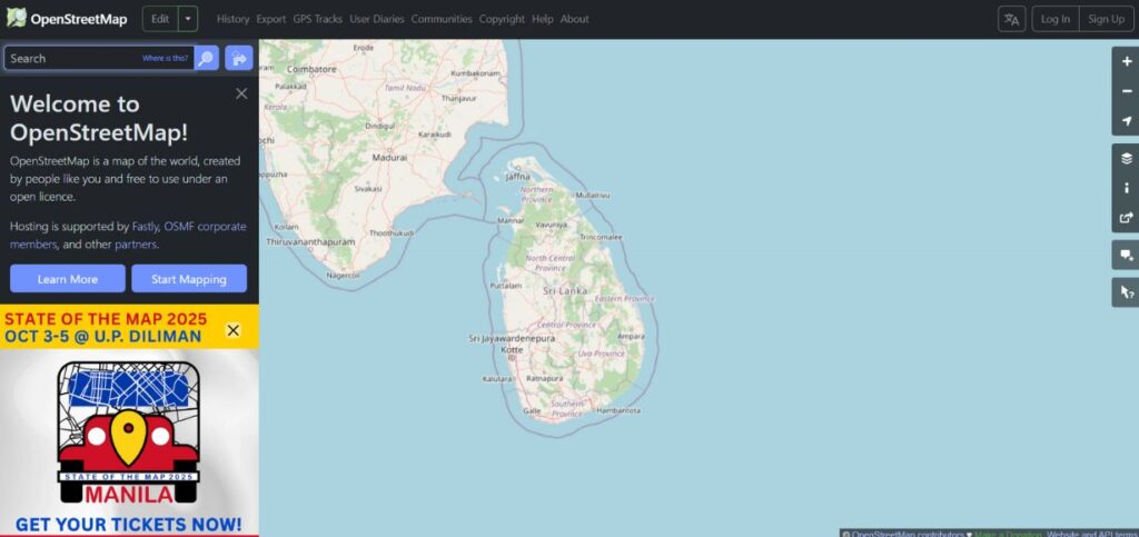
Rating: 4.3/5
Website: https://www.openstreetmap.org/
Best Use Cases: Open-source projects, community-driven applications, budget-conscious development
OpenStreetMap is the best example of the authority of collective mapping, as it is quick and open-source geographical information supported by a widespread group of volunteers all over the planet. Through this platform, mapping data of unbelievable detail and regularly updated provides the information which often remains superior to the commercial suppliers in the local detail and completeness.
Community-contributed nature means that an update and correction will be swift, especially in a local No wonder the people who contribute have a detailed understanding of the area. Military teams use it for planning, aid workers rely on it during emergencies, and researchers use it to study different areas. The best part is that it works everywhere in the world.
Key Features:
- All map data is free to use
- Regular people update and improve it
- You can modify maps however you want
- Contains detailed local information
- Available worldwide
Pros:
- Costs nothing to use
- Very detailed mapping information
- Helpful community of users
Cons:
- You need some tech skills to use it well
- Map quality can vary by location
- No customer service if you need help
Pricing: Free
6. Geoapify
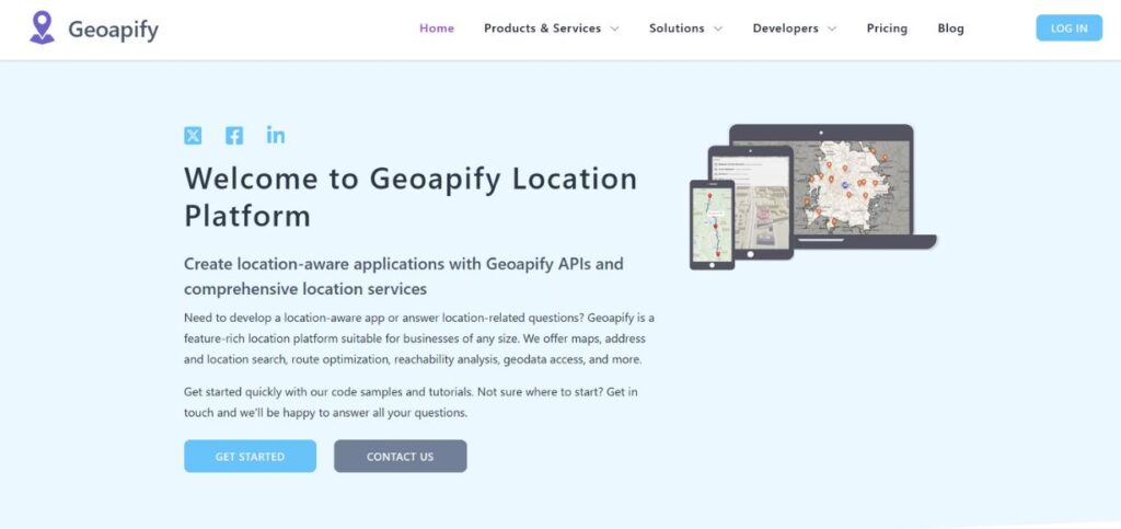
Rating: 4.2/5
Website: https://www.geoapify.com/
Best Use Cases: Small businesses, startups, OpenStreetMap-based applications
Geoapify uses the rich OpenStreetMap dataset to offer low-cost and easily available mapping to developers and businesses. The platform provides competitive functions despite being simplified and easy to integrate with geocoding, routing, and map displaying services. The developer-friendly style of Geoapify is supported by the fact that it has great documentation and flexible APIs, which enable brands to come up with their own differentiated mapping experiences.
Its pricing model also makes it especially appealing to small and medium projects where one does not need the full power of an enterprise payment solution, but a professional mapping-related functionality without the related cost. It is powered by OpenStreetMap, which ensures the availability of up-to-date geographical information.
Key Features:
- OpenStreetMap-based data
- Developer-friendly APIs
- Customizable map styling
- Multi-modal routing
- Competitive pricing
Pros:
- Affordable pricing options
- Easy API integration
- Regular data updates
Cons:
- Limited brand recognition
- Smaller support community
- Fewer advanced features
Pricing: Free tier available
7. Bing Maps
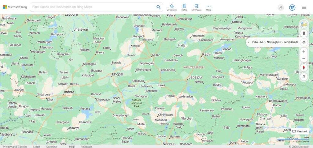
Rating: 4.1/5
Website: https://www.bing.com/
Best Use Cases: Microsoft ecosystem integration, aerial imagery, enterprise applications
Bing Maps offers full mapping services and seamless compatibility with the Microsoft ecosystem that can appeal to organizations that already have Microsoft-based technology. Additional functionalities on the plugin, such as the bird’s-eye view images and high-resolution aerial photographs, enable a highly appealing visual experience for the users.
The use of Azure cloud services and the Power BI analytics, along with the other Microsoft tools integrated within Bing Maps, becomes very potent to use in enterprise applications. Its developer APIs allow one to add mapping capabilities to different programs and still be consistent with the development frameworks and tools used by Microsoft.
Key Features:
- Works great with Microsoft products
- Shows maps from above like a bird
- Covers the whole world
- Shows current traffic conditions
- Works with Microsoft’s cloud services
Pros:
- Connects easily with Microsoft tools
- Cool overhead views
- Very reliable for businesses
Cons:
- Hard to change how it looks
- Only works best with Microsoft stuff
- Costs more money
Pricing: You pay for what you use; call Microsoft to find out how much
8. OpenLayers
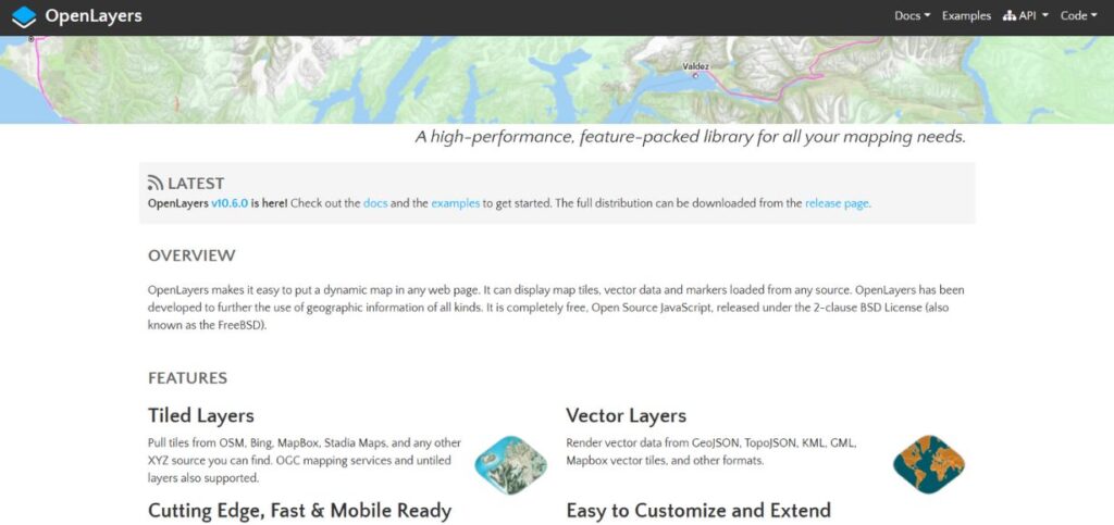
Rating: 4/5
Website: https://openlayers.org/
Best For: Website maps, custom map projects, school projects
OpenLayers is a free tool that helps people build interactive maps for websites. It’s very powerful and lets developers create detailed mapping apps that work in web browsers. This highly adaptive solution can be popularly put together with a variety of data sources, such as OpenStreetMap, licensed tile servers, and user-created map services.
OpenLayers has very customization opportunities, which enable the mapping developers to form different experiences of mapping selective to the needs. The extensive functionality of the library has all the standard functions of a library, such as vector layers, animation, spatial analysis, and advanced cartographic projections.
Key Features:
- Free JavaScript library that anyone can use
- Works with many different types of data
- You can customize it however you want
- Great for creating map layers
- Includes tools for analyzing locations
Pros:
- Costs nothing to use
- Very adaptable to your needs
- Lots of people help improve it
Cons:
- You need to know how to code
- You have to set up your servers
- Takes time to learn properly
Pricing: Completely free
9. HyperTrack
Rating: 4.3/5
Website: https://hypertrack.com/
Best For: Tracking vehicles, managing deliveries, watching over mobile workers
HyperTrack is good at showing where things are right now. It helps companies keep track of their drivers, delivery people, and field workers so they know what’s happening with their business in real-time. The platform is more than a map, as it includes features that allow tracking the field personnel, deliveries, and increasing operational efficiency. Automatic trip detection and ETA by HyperTrack helps one to communicate with customers better and have a better plan of operation.
The geofencing features of the platform also activate automations and notifications to locations that increase management of workflow. Its emphasis on operational efficiencies denotes that it is perfectly suitable for companies that are engaged in logistics, food delivery, ride, e-commerce, and field service industries that rely on the accurate tracking and monitoring capabilities.
Key Features:
- Real-time location tracking
- Automatic trip detection
- ETA calculations
- Geofencing capabilities
- Operational analytics
Pros:
- Specialized tracking features
- Automatic trip detection
- Operational focus
Cons:
- Limited general mapping
- Niche application focus
- Higher specialized costs
Pricing: Custom pricing
10. Loqate
Rating: 4.4/5
Website: https://www.loqate.com/en-gb/
Best Use Cases: Address verification, data quality, international businesses
Loqate deals with address intelligence and validation services, and it enables businesses that operate internationally to have fundamental quality tools. The site specializes in address accuracy using real-time verification, standardization, and enrichment services that can minimize delivery failures and generate customer experiences. Modern information in terms of covering 250+ countries and territories makes Loqate of the utmost value to companies that require international postal data.
The geocoding functionality in the platform transforms an address into accurate coordinates, whereas its reverse geocoding allows obtaining address details based on geographical coordinates. Its data amidst capabilities enrich the business intelligence with the incorporation of valuable demographic and property insights to facilitate sound decision-making measures.
Key Features:
- Global address verification
- Real-time data validation
- Geocoding services
- Data enrichment capabilities
- International coverage
Pros:
- Excellent address accuracy
- Global coverage
- Data enrichment features
Cons:
- Specialized functionality focus
- Limited mapping features
- Premium pricing structure
Pricing: Custom pricing
How to Choose the Right Google Maps Alternatives
To choose the most appropriate mapping solution, one would carefully need to assess your own needs, technical limitations, and business goals. These are some of the key aspects to put into consideration in making a decision that is informed decision regarding your project objectives and organizational requirements.
- Budget: Drill down on your budgetary limitations and examine price offerings such as free, pay-as-you-go, and volume discount packages to determine the best value to match your usage profile.
- Features: Assess functionality needs, including but not limited to geocoding, routing, real-time tracking, offline options, and customization to make sure that the vendor you select has features that will support all your technical needs.
- Scalability: Those of you planning on tending to grow, ensure the chosen platform will be able to scale up on the number of API calls, number of users, and expand geographically without performing significantly worse or costing significantly more.
- Integration: Evaluate how it will fit in your current technology stack and your development platforms and third-party services to ensure that it will have minimal implementation complexity and reduce integration problems.
- Support: Assess available documentation quality, community support, technical support options, and service level agreements so that sufficient help is on hand during the development and deployment stages.
Conclusion
The terrain of the Google Maps alternatives has provided multifaceted solutions to deliver to the different business needs, technical requirements, and budget limitations in different business and application areas. Whether it is a more affordable solution, such as Radar that offers full-service APIs at an affordable rate,t o a more technical offering such as HyperTrack that specializes in real-time tracking, every alternative features its own set of benefits that can vastly improve your mapping allotment.
Open source solutions such as OpenStreetMap and OpenLayers are the most flexible/customizable when a developer is not afraid to invest some time in the implementation, whereas enterprise quality solutions such as TomTom and HERE are reliable and advanced to set guarantees for mission-critical cases.
When choosing between the alternatives to using Google Maps, a proper evaluation of your requirements must be done, a determination of future (long-term) expansion needs, and an analysis of the whole cost of ownership (cost of development and maintainability, as well as cost of operation). Depending on their preference for customization, cost-effectiveness, privacy, or other special features, the existing market has strong alternatives, whichever is their priority, that can be offered to provide better value than traditional mapping services, and enable innovative location-based services and apps.
Frequently Asked Questions
1. Do alternative versions of Google Maps provide equivalent accuracy to Google Maps?
There are also numerous options such as TomTom, HERE, and Mapbox with similar or higher accuracy, particularly in the particular application, e.g., navigation or special geographic area.
2. Is it possible to launch several mapping services?
Yes, most businesses consume multiple services when it comes to different functions, as many services are provided by the OpenStreetMap in case of base maps, and use specific APIs in case of geocoding or routing.
3. Do these options facilitate the offline functioning?
Multiple options, such as HERE Maps, TomTom, and OpenStreetMap solutions that provide offline capabilities, feature schemes, and more, are apps that are independent of connectivity.
4. To what extent is it hard to switch on Google Maps to options?
The level of complexity in migration will differ based on your current implementation and the alternative offered; however, many of the platforms will have detailed documentation and guidance for migration.
5. Which are some Google Maps alternatives?
Yes, OpenStreetMap is free as a whole; the rest (Radar, Mapbox, Geoapify) have huge free plans to use in small projects and testing.